12/11/25 |
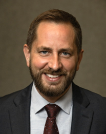
Groundwater-seawater interactions in hypertidal environments and the role of sediment propertiesDr. Barret Kurylyk, Canada Research Chair in Coastal Water Resources, Dalhousie University, Halifax, Nova Scotia |
Recording link will be added after the seminar. |
|
|
Dr. Barret Kurylyk holds the Canada Research Chair in Coastal Water Resources at Dalhousie University in Halifax, Nova Scotia. His research program integrates field- and model-based investigations, with a topical focus on groundwater dynamics and a geographical focus on coastal and Arctic regions. He has received early-career research awards from several organizations including the Geological Society of America and the American Geophysical Union. He is currently Past President of the Canadian Geophysical Union Hydrology Section and Second Vice-Chair of the Geological Society of America Hydrogeology Division. | Abstract. Hypertidal conditions in the Bay of Fundy (ranges up to 16 m) drive high exchanges of fresh- and salt-water in surface estuaries and coastal aquifers (subterranean estuaries). To examine these surface and subsurface dynamics, field and modeling investigations of ocean-aquifer mixing were conducted at three sites along the Fundy coastline in Nova Scotia, Canada. Field investigations in the town of Wolfville reveal pronounced tidal groundwater level and salinity signals inland and at depth (e.g., 70 m), and numerical modeling shows that sea-level rise and surface flooding will likely drive vertical and lateral saltwater intrusion and threaten future freshwater security. Likewise, field data from Advocate Harbour show that the tidal forcing mediates intensive aquifer-ocean mixing with high diffuse submarine groundwater discharge rates (e.g., up to 1.8 m/day) revealed in piezometers, seepage meters, and radon and radium measurements. Finally, measurements from the Salmon River estuary highlight how the engineered dyke realignment and natural tidal pumping of the estuary impact soils and groundwater level and salinity dynamics. Collectively, these results reveal the importance of tides for driving subsurface pressure pulses and hydrologic interactions and point to future opportunities to study properties of mud flats and other tidal sediment using passive signals. |
11/18/25 |
Hydrodynamics on Muddy Tidal FlatsDr. Bram van Prooijen, Estuarine Engineering, |
Recording link will be added after the seminar. |
|
|
Bram van Prooijen got his PhD in turbulent flows in 2003. After working at an engineering consultant, he returned to TU Delft in 2008 where he started working on biogeomorphology of estuaries. He is now heading the Coastal Engineering section and doing research on estuaries, with a strong emphasis on field work. | Abstract. In 2016, we started measuring flow velocities, waves, and sediment concentrations on muddy tidal flats. Over the last years, we conducted various field campaigns in the Netherlands: the Wadden Sea, Western Scheldt and Eastern Scheldt as well as in France and China. In this presentation, I would like to share and discuss some of the results, focusing on how, when and where erosion of muddy beds occurs. One of the conclusions is that the timing of storms within the tide determines where erosion takes place. Furthermore, we see that the strength is (very) non-uniform, having quite some implications for modelling concepts. |
8/26/25 |
Geotechnical Characterization of Estuarine Tidal Flat SedimentsDr. Julie Paprocki, Assistant Professor, Civil and Environmental Engineering, University of New Hampshire |
Recording link |
 |
Julie Paprocki is an Assistant Professor in the Department of Civil and Environmental Engineering at the University of New Hampshire. She holds a B.S. from the University of Cincinnati (2017), with her M.S. (2018) and Ph.D. (2022) degrees from Virginia Tech, all in Civil Engineering. In addition, she is a Professional Engineer in the state of New Hampshire. Her research interests include using in situ and remotely sensed observations to characterize complex coastal sites and analyzing anchoring techniques for powering the blue economy. When not doing research, she teaches classes related to in situ geotechnical testing, project management, and ocean structures, which spawns further research project ideas. | Abstract. Tidal flats represent critical coastal environments, yet little is known about the geotechnical characteristics of these sediments. Measurements at these sites are complicated by shallow water depths restricting access via boats and the soft nature of the sediments limiting the ability of traditional testing techniques for characterization. To address these gaps, this study investigates the use of novel tools to characterize tidal flat sediments. A series of tidal flats on the Great Bay Estuary in New Hampshire were selected for characterization, with two flats composed predominately of fine-grained, soft sediments and one flat characterized by spatially varying coarse-grained sediments. To characterize these sites, trends in soil properties derived from free-fall penetrometers were explored. Remote sensing techniques, specifically satellite measurements, were also investigated for these sites, with the goal of developing a classification scheme that can be applied globally, reducing the need for extensive in situ field measurements. |
6/5/25 |
The geotechnical characterization of littoral muddy flats and shorelinesSophia Mercurio, Geotechnical Engineer, formerly Dept. of Civil and Urban Engineering, New York University Tandon School of Engineering |
Recording link |
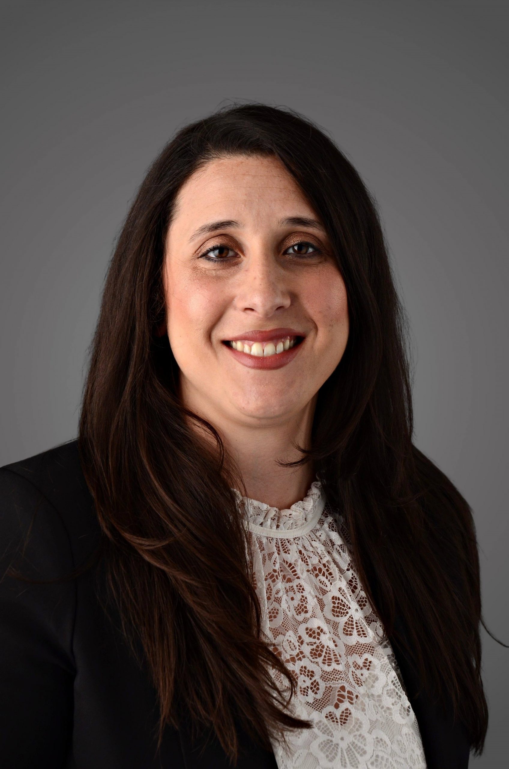 |
Dr. Sophia Mercurio is a Geotechnical Engineer who earned three research-track academic degrees in Civil Engineering from New York University (NYU): a BS (2013), a MS (2015), and a PhD (2025). Her nine years of geoenvironmental and geotechnical engineering laboratory research at NYU culminated in three theses, including her doctoral dissertation, “Projectile Deceleration in Soils”, which focused on the terrestrial, nearshore, and underwater remediation of buried unexploded ordnances. In 2020, Sophia received the American Society of Civil Engineers Geo-Institute Scholarship for the NY Metropolitan Section. In addition to research experience, Sophia has four years of industry experience as a geotechnical engineer at Langan, a NYC consulting firm, and nine years of undergraduate civil engineering instruction experience, including eight years of soil mechanics lecture and laboratory teaching at both NYU and New York City College of Technology. | Abstract. Predicting the trafficability of littoral muddy flats and shorelines is a critical challenge for naval operations, particularly for the reliable movement of ships and amphibious vehicles. These environments are governed by complex and highly dynamic geomechanics, with soil properties that vary both spatially and temporally. Previous research has focused on geotechnical characterization of similar muddy environments for the remediation of buried unexploded ordnances (UXOs); yet, these efforts have not fully addressed the demands of real-time or scalable trafficability predictions. In the first part of this talk, I will present prior work involving the development of a novel semi-empirical mathematical formulation, the GeoPoncelet model, which describes the penetration resistance of UXOs in cohesive sediments. High speed impact tests were performed in cohesive soil targets and correlated with conventional in situ cone penetration test (CPT) measurements to describe the ballistic penetration of soft marine soils for depth of burial predictions. In the second part of the presentation, I propose integrating conventional in situ geotechnical measurements with satellite-derived remote sensing data to develop site-specific, scalable trafficability maps. This approach aims to bridge the gap between localized field measurements and broader geospatial assessments, enabling more accurate operational planning in challenging coastal terrains and tidal flats. |
5/27/25 |
From swash zones to tidal flats: Linking hydrodynamics, sediment processes, and resilience in coastal environmentsAlexandra Schueller, Postdoctoral Researcher, Center for Applied Coastal Research, University of Delaware |
Recording link |
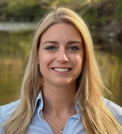 |
Dr. Alexandra Schueller is a postdoctoral researcher at the Center for Applied Coastal Research at the University of Delaware. Her work focuses on nearshore hydrodynamics, coastal resilience, and flood emergency management. She led the 2024 wave basin data collection at Queen’s University as part of an NSF-funded project on swash zone processes and serves as co-PI on a MARACOOS-funded project supporting coastal resilience in Delaware. Before academia, she worked for over a decade as a civil engineer and manager in public water administration in Germany and coordinated post-flood response efforts in a crisis team after the 2021 Ahr Valley disaster. Dr. Schueller earned her doctoral degree from the Technical University Kaiserslautern, Germany, in 2022 with a dissertation on improving flood emergency strategies. She is also active in international coastal engineering networks, science communication, and currently serves on ASCE’s Coastal Engineering Research Council. | Abstract. This seminar explores how experimental and field-based coastal engineering research can inform the process-based understanding of tidal flat systems. Drawing on recent wave basin experiments, the presentation discusses key hydrodynamic variables such as nearbed velocity, turbulence intensity, and bed shear stress under oblique wave forcing. Although originally developed for swash and surf zones, the instrumentation and techniques, including high-resolution nearbed velocity measurements, offer valuable applications for investigating flow and sediment transport dynamics in intertidal environments. Building on her work in post-storm reconnaissance and coastal resilience, Alexandra will share recent examples of rapid assessment campaigns using geotechnical and hydraulic tools to capture morphological change. These campaigns underscore the need for portable, low-footprint methods suitable for storm-impacted and hard-to-access coastal zones, including tidal flats. The seminar highlights key challenges and opportunities for advancing transferable rapid assessment approaches across diverse climatic and geomorphic settings, with an emphasis on spatial heterogeneity, practical field deployment, and interdisciplinary integration, ultimately supporting more resilient mudflat science across a range of climate zones and geomorphic environments. |
5/16/25 |
Bio-Inspiration in geotechnical engineering and its integration into tidal mudflatsCandas Oner, PhD Candidate, School of Civil Engineering, Georgia Institute of Technology |
|
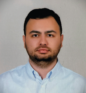 |
Candas Oner received his B.S. degree in Civil Engineering in 2018 and his M.S. degree in Civil Engineering with a focus on Geotechnical Engineering in 2020, both from Bogazici University, Turkey. He began his Ph.D. in Geosystems Engineering at the Georgia Institute of Technology in 2021 and is currently a Ph.D. candidate working with Dr. J. David Frost. His research focuses on modeling-based design and optimization of spider web–inspired geogrids in composite geomaterial systems. | Abstract. Bio-inspiration in geotechnical engineering is a rapidly growing field. Solutions such as spider web–inspired geogrids, root-inspired systems, and snakeskin-inspired surfaces have been shown to enhance infrastructure resilience. In the first part of the seminar, prior research on the structural optimization of spider web–inspired geogrids will be presented, along with the evaluation of their effectiveness using numerical methods that incorporate both continuum and coupled discrete–continuum approaches. The seminar will then explore the potential integration of bio-inspired systems into tidal mudflats to improve infrastructure resilience and reduce erosion susceptibility. The use of various individual and combined numerical methods for micro- and macro-scale investigations of these topics will also be discussed. |
