Over the summer, graduate students Stephan Adusei and Saurav Shrestha participated with other team members including Nina Stark (PI), Charli Pezoldt (research coordinator), Stefanie Wolf (visiting scholar), and Noah Evans (undergraduate researcher) in a four-day survey (July 18-19th and 24-25th) on the mudflats and beach of Cedar Key, Fl as well as the mudflats of the Guana Tolomato Matanzas estuary and Ponte Vedra beach, FL.
Cedar Key Survey
Measurements included determining in-situ sediment strength using a Portable Free Fall Penetrometer (PFFP) dropped from an inflatable boat during high tide. At low tide, sediment samples were collected using 10cm core tubes along defined transects across the beach. Simultaneously, in-situ measurements of moisture content (using the handheld moisture probe) as well as sediment strength (using the Soil Saber and PFFP) were recorded. Synthetic Aperture Radar (SAR) satellite images were obtained during the time of survey to facilitate the correlation of in-situ sediment properties with satellite imagery toward the assessment of trafficability of mudflats and beach environments (research funded by the Office of Naval Research).
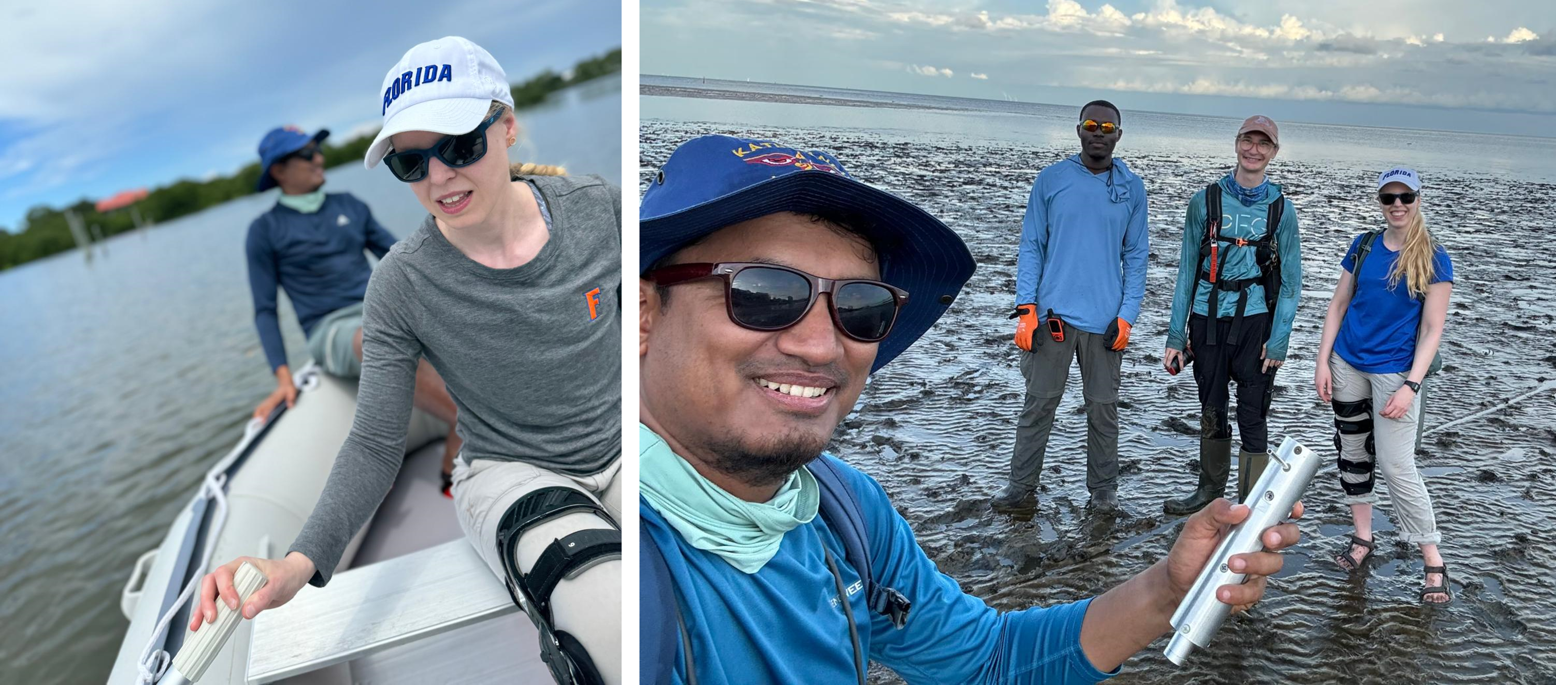
Left: High tide surveys from the inflatable boat at Cedar Key, Fl. Dr. Stefanie Wolf in the front and Saurav Shrestha in the back. Right: Low tide beach surveys at Cedar Key, Fl. (from the left: Saurav Shrestha, Stephen Adusei, Charli Pezoldt, Dr. Stefanie Wolf).
Tolomato Matanzas estuary and Ponte Vedra beach survey
The PFFP was dropped from the RV Kraken during high tide on the GTM mudflats at defined transect locations. Sediment samples were collected concurrently using a gravity corer and a Shipek sampler. At low tide, beach surveys were conducted on the Ponte Vedra beach. The survey consisted of identifying beach cusps locations, collecting sediment samples, determining in-situ moisture content (using handheld moisture probe) as well as in-situ sediment strength (using PFFP and Soil Saber) of the cusps horns and bays. Additionally, a mobile scan of the beach was done to determine the topography of the beach. SAR satellite image was obtained during the time of survey to correlate in-situ sediment properties with those derived from the satellite imagery for assessment of beach trafficability (ONR funded Research).
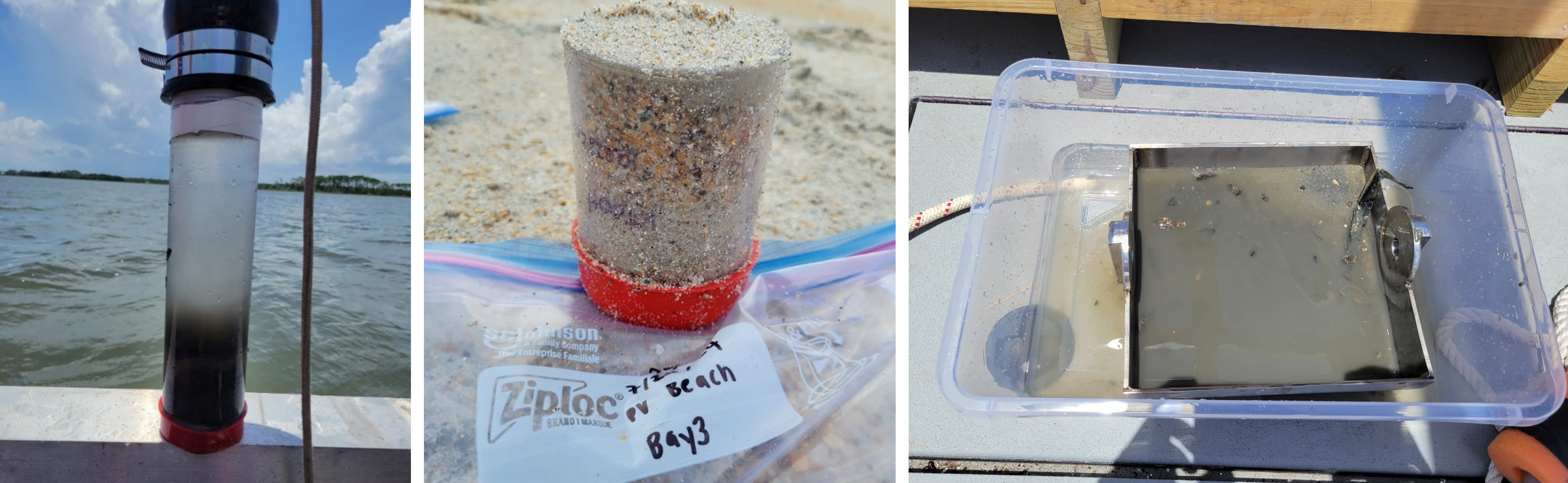
Left: Sediment sample collected using a gravity corer on the mudflat of the GTM. Middle: 10cm core tube sample consisting of sandy sediments collected at the beach of Ponte Vedra beach, FL. Right: Sediment sample from the Shipek grab sampler.
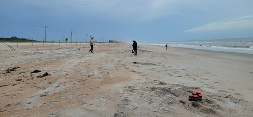
Ponte Vedra Beach, FL