Tidal flats are important coastal features within the intertidal zone for recreation, ecological growth, and coastal protection. The sediment type and makeup of tidal flats can affect the strength of the flat and determine how accessible the flat is by vehicle or even by foot. Assessing the strength of a tidal flat can be very difficult and time consuming, particularly if the flat is soft and difficult, or impossible, to walk on. Utilizing remote sensing techniques, particularly Synthetic Aperture Radar (SAR) images, is an attractive option to assess these often difficult to access tidal flats. Freddie Falcone, a PhD student at Virginia Tech, is working on a project that aims to use SAR images to assess the characteristics of mixed sediment and muddy flats.
Freddie and the project team performed a series of surveys in Cedar Key, Florida, and the Guana Tolomato Matanzas National Estuarine Research Reserve (GTM), Florida. The surveys included high tide boat surveys of mud dominated (soft and unwalkable) flats, and low tide walking surveys of mixed sediment (sands and muds) flats. The data collected at high tide included side scan sonar, bathymetry measurements, sediment cores, and free fall penetrometer measurements. The low tide surveys included sediment cores, moisture content measurement, handheld shear vane/penetrometer strength measurements, portable free fall penetrometer measurements, and multispectral drone imagery. A series of X-Band SAR images were collected during the low tide surveys to correlate the sediment properties to radar backscatter. The sediment samples will be tested in the laboratory for grain size distribution, moisture content, spectral signature, and strength.
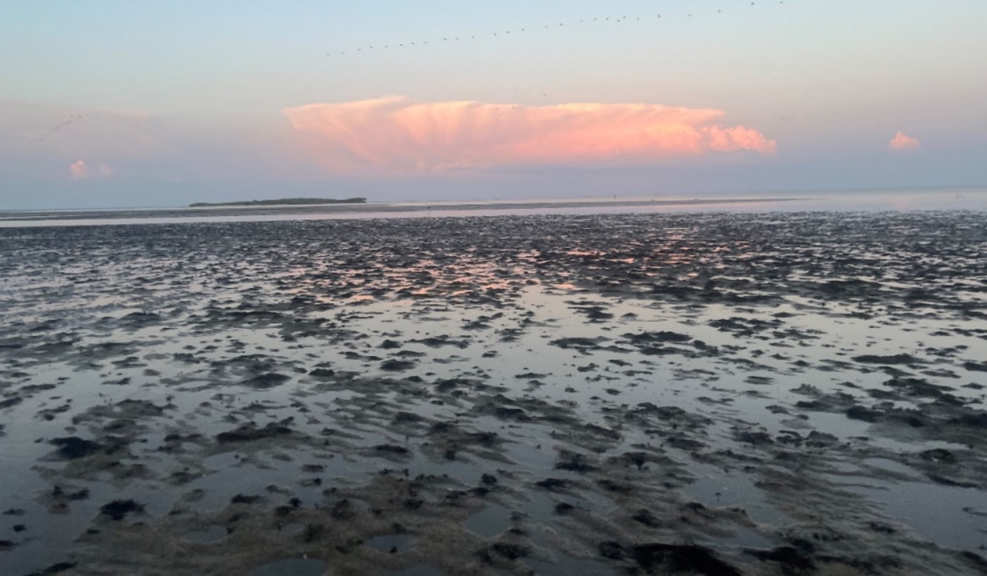
Example of a mud dominated flat at low tide. These flats are generally very soft and difficult to walk on.
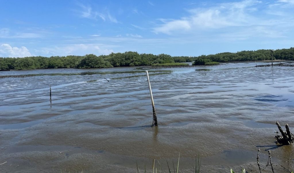
Example of a mixed sediment (sands and muds) flat. These flats, while soft in areas, were generally walkable without sinking more than 15-20cm.