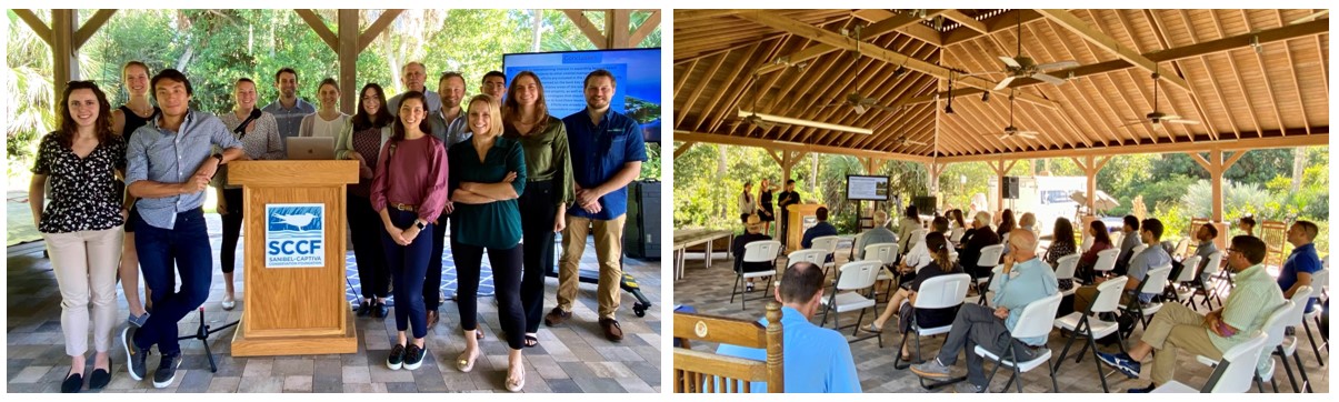
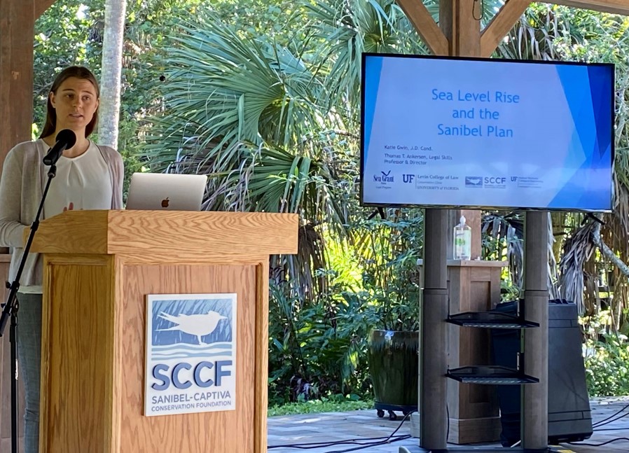
The inaugural semester of the CCS Coastal Policy Lab came to close in early December with a field trip to Sanibel Island to present the results of the students’ interdisciplinary projects. The Coastal Policy Lab (CPL) is a student-centered experiential learning collaboration between the University of Florida Colleges of Law and Engineering, and Florida Sea Grant. Over the course of the semester, six law and 6 PhD students, and 3 faculty mentors collaborated on 5 projects at the science to policy interface, all taking place in and around the greater Charlotte Harbor Watershed in Southwest Florida, an area of special research interest to CCS. The student faculty team projects involved working closely with CCS partner, the Sanibel Captiva Conservation Foundation (SCCF) as well as the Captiva Erosion Protection District, and the West Coast Inland Navigation District.
The five projects addressed:
 |
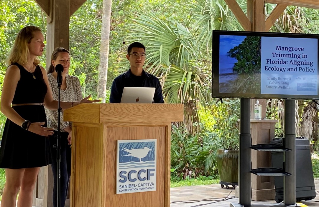
Sea Level Rise and the Sanibel Plan. The Sanibel Plan is one of Florida’s pioneering planning documents, a tribute to visionary leadership and the legacy of famed landscape architect Ian McHarg, author of “Design with Nature.” Nonetheless, the Plan was written in the “before times” of climate change, and in need of an update as it relates to island vulnerability to sea level rise. CPL students reviewed the status of state law governing sea level rise adaptation, studied best local policy practices from throughout Florida (and beyond), and provided suggested amendments to the Sanibel Plan that respects the Plan’s unique “McHargian” ecological zoning framework. |
 |
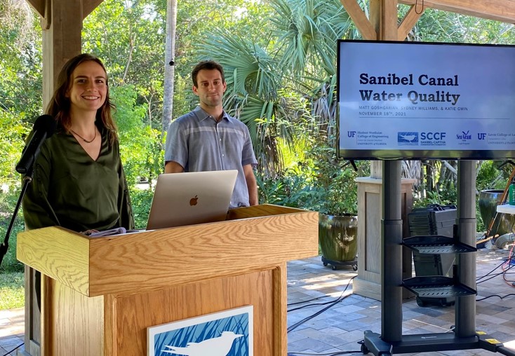
Mangrove Trimming and Protection Law. Due to both their ecological significance and the flood protection benefits they provide; mangroves enjoy special protection under Florida law. The City of Sanibel is one of a handful of local governments in Florida that has been delegated the authority to administer Florida’s complex and often confusing law governing the trimming of mangroves. While studies have been done of these ecosystem service benefits of mangroves at greater scales, students examined them at the parcel scale, modeling their storm surge protection potential under several trimming and living shoreline augmentation scenarios. In addition to providing a detailed analysis of the law and local ordinance, students noted that the federal flood insurance program does not seem to consider whether a particular parcel has a mangrove fringe when establishing flood insurance premiums for individual homeowners, despite the storm surge protection that mangroves provide. Students also analyzed the role of riparian rights in formulating policy approaches to encourage a more robust mangrove fringe bordering urban land uses. |
 |
Estuarine Interior Canal Water Quality. Water quality represents perhaps the most important natural resource issue facing residents of the Greater Charlotte Harbor Watershed, and canal front residential development represents an important contributor to deteriorating water quality. CPL students took a close look at contributions from the City of Sanibel’s interior canal system and modeled the hydrodynamic and water quality characteristics of an idealized canal segment to determine the extent to which nature-based filtration solutions such as residential oyster and sponge gardening, as well as living seawalls, could improve water quality in canals. Initial results were promising. The student team also made recommendations to amend the Sanibel Plan to address this issue more explicitly, and to launch a pilot project to further test their hypothesis. |
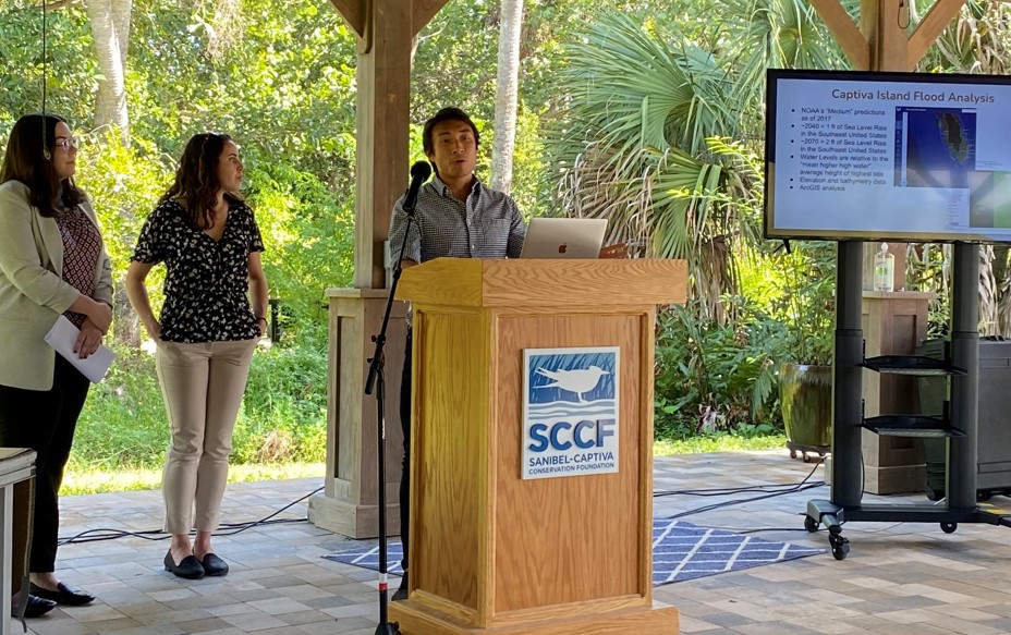 |
Resiliency Planning and Independent Special Districts. Independent special districts represent a unique form of elected local government in Florida, many of which are at the frontlines of resilience planning and response. The Captiva Erosion Protection District (CEPD) is one such example, charged with protecting the barrier island from erosive forces. Typically, this has been thought of in terms of episodic gulf-facing beach nourishment. CPL students engaged the District and its governing board in a strategic planning exercise, and examined the substantive reach of CEPD’s enabling legislation. The student team confirmed CEPD’s legal authority to conduct more diverse erosion protection and management activities on the bayside of the island, which could include an island-long comprehensive approach to grey/green infrastructure (sea walls, living shorelines and hybrids). The CPL team used a geospatial platform to model this approach based on sea level rise projection scenarios and local topography and bathymetry. The student team also prepared a more general policy brief which addressed the omission of independent special districts from the definition of local governments eligible to seek resilience grants under legislation passed in 2021. |
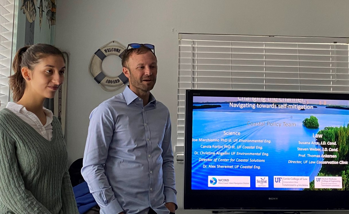 |
Navigational Channel Redesign to Reduce Maintenance Dredging. Florida’s inland waterways area heavily used transportation network for commercial and recreational vessels. These waterways require maintenance dredging, some of which must occur with considerable frequency due to the historic channel design and hydrodynamic conditions in the waterway. To ensure that existing waterways remain navigable, regulatory agencies allow an exemption from permitting when the dredge footprint remains within the historically maintained channel. The CPL student team explored whether a better approach might be to utilize a different, possibly deeper and wider, dredge template to reduce the frequency of exemption-based dredging. Since such an approach would remove the dredge project from the exemption, students also considered whether the environmental impacts created by the new template would be offset by the reduced frequency of dredging – something they termed “self-mitigation.” |